How is Texas using satellites to watch saltwater disposal wells?
Short answer: the Railroad Commission of Texas now looks at satellite data that shows tiny movements in the ground, right next to disposal well records.
What happened?
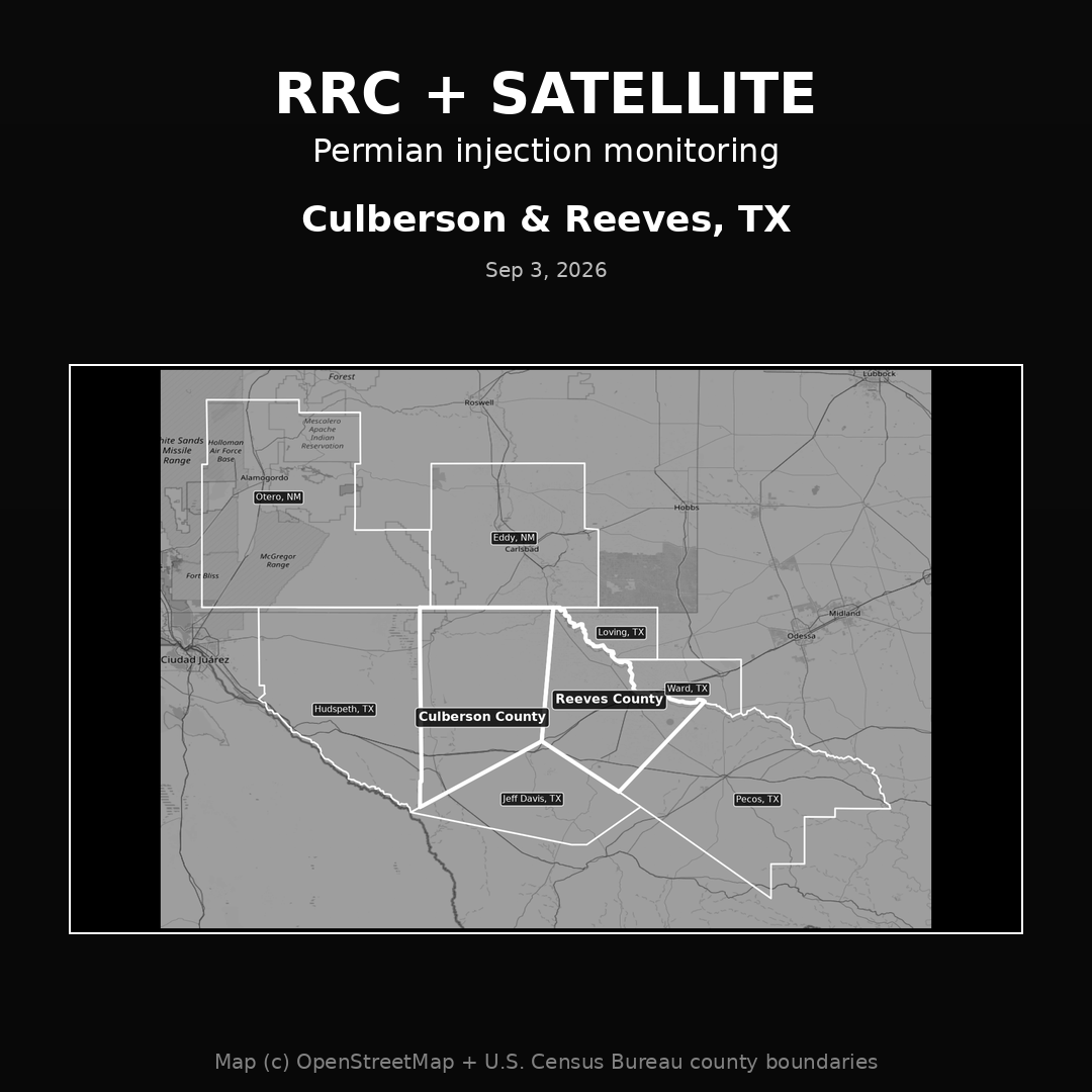
In September 2026 the Railroad Commission of Texas (RRC), the agency that regulates oil and gas in Texas, started adding satellite ground motion data to how it watches saltwater disposal wells and other underground injection wells in the Permian Basin. The map shows Culberson and Reeves Counties, the area at the center of this work.
How does it work?
A company called SatSense uses satellites to measure very small rises and drops in the ground surface. B3 Insight puts that data into its OilfieldH2O platform, next to how much water each well injects, well pressure, pipelines and permits. That lets regulators see what the ground is doing and what is being pumped underground on one screen, instead of in separate spreadsheets. The data refreshes each time a satellite passes over.
Why does it matter to operators?
The RRC can use this for disposal well permits, monitoring and long term planning. If you run disposal wells in the Permian, expect closer attention to how much you inject and where.
What can you control at the tank?
Oil floating on top of the water in your tanks still leaves on a vacuum truck, and that costs you money every haul. The Freedom Tool skims that oil off inside the tank, pulls richer vapors, and cuts down on vacuum truck trips. It has no moving parts. Contact us to see if it fits your site.
Source: World Oil, September 3, 2026. Map: OpenStreetMap and U.S. Census Bureau county boundaries.